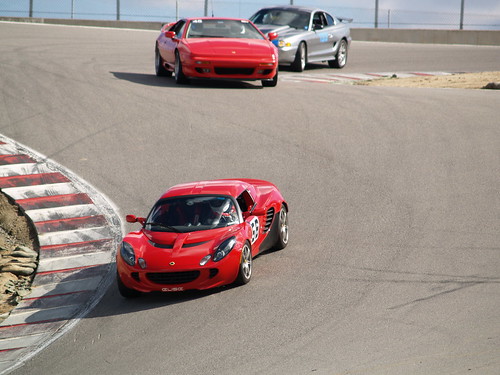
This picture that Nithya took at the GGLC trackday in Laguna Seca just became the Axis of Oversteer Picture of the Day. They have credited me with the picture since I submitted it but the camera work was all Nithya.… Read the rest
Category: personal
Nithya and I just hosted a very delicious event – the very first YRB Recipe Exchange. The idea for the exchange came from our February trip to Tahoe when we found that a good number of the people at the lab are foodies. Since we all cook very different kinds of food, we decided to have a recipe exchange where we would be able to not only eat various dishes but also learn how they were prepared.
For this event we had Ryan, Yuki, Ayman, Carrie, Nithya and myself meeting in the afternoon to cook a wide variety of dishes (mostly) from scratch before Jeannie joined us for the consumption part of the evening.… Read the rest
Categories
F1 circuit guide
SFF1 just used a version of my F1 circuit guide on their site. It was inspired by Shane SF neighbourhood guide and is a mashup of several technologies including:
- TagMaps
- GeoRSS
- Pipes
- Flickr API
- Tons of Javascript
I’ll go into more details in a later post but it basically uses the TagMaps callback function to pull in content from Flickr, Wikipedia and Youtube to give a quick overview of each track.
You can also play with a version of the guide on my website.
[tags]F1, Formula 1, circuit guide, TagMaps, mashup, Pipes, Flickr, Wikipedia, YouTube[/tags]… Read the rest
A short video about life and work at YRB. Includes demos of some cool projects as well as a glimpse of the unique Berkeley lifestyle.
Check out the original blog post on Yodel Anecdotal by Bradley.
[tags]video, YRB, Yahoo! Research Berkeley, life, PR[/tags]… Read the rest
TagMaps is the latest research project to come out of my group at YRB. It is a visualization technique that displays text on geographic maps. TagMaps can be used to communicate characteristics of location-based data in an easy-to-understand way. The World Explorer in particular uses TagMaps to display Flickr tags that denote the ‘important’ tags in any given geographical area. You can play with it at http://tagmaps.research.yahoo.com/worldexplorer.php
I built much of the back end for the system and am in charge of the data apis that we uses. If you want to play with this API for yourself I suggest you head over to either the Yahoo Developer Network or to the TagMaps Yahoo group.… Read the rest